Koalas at Kennett River
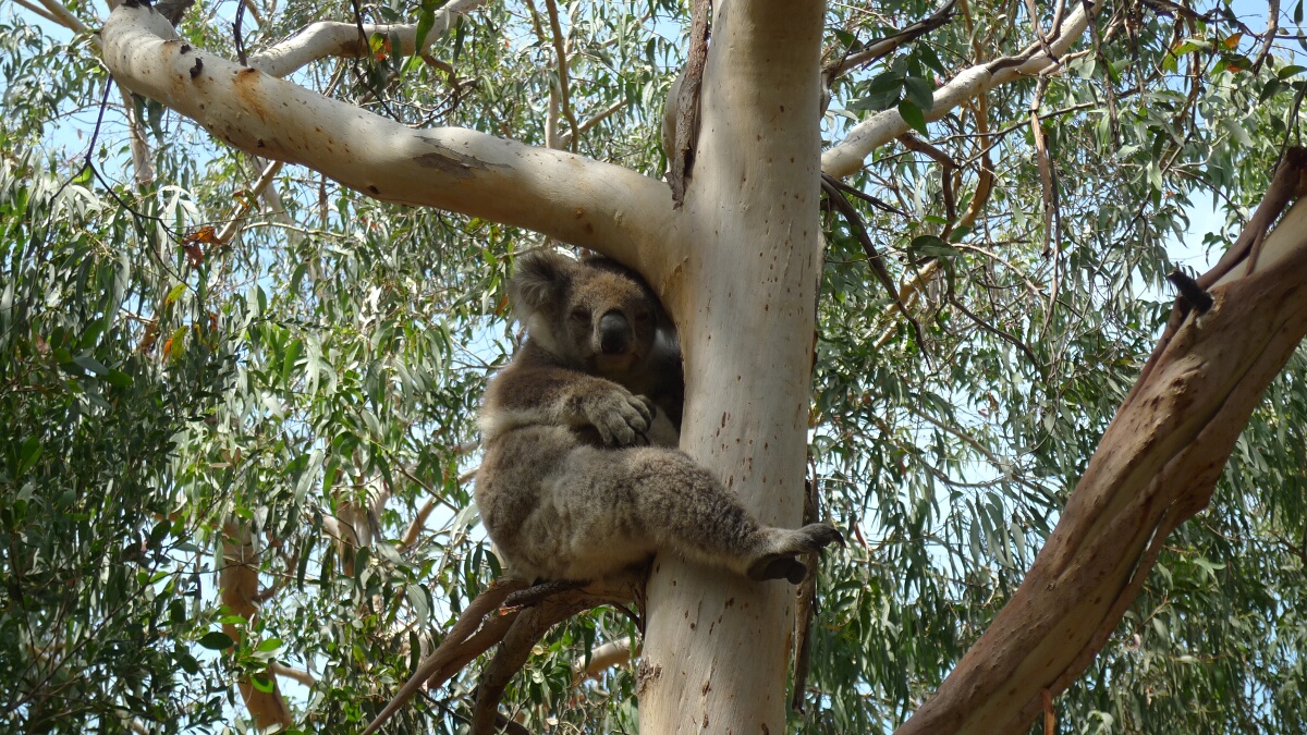
The dozen houses that make up Kennett River are located between Lorne and Apollo Bay along the Great Ocean Road. This is another sure spot to see a bunch of koalas, so quite a lot of people take a break …
The dozen houses that make up Kennett River are located between Lorne and Apollo Bay along the Great Ocean Road. This is another sure spot to see a bunch of koalas, so quite a lot of people take a break …
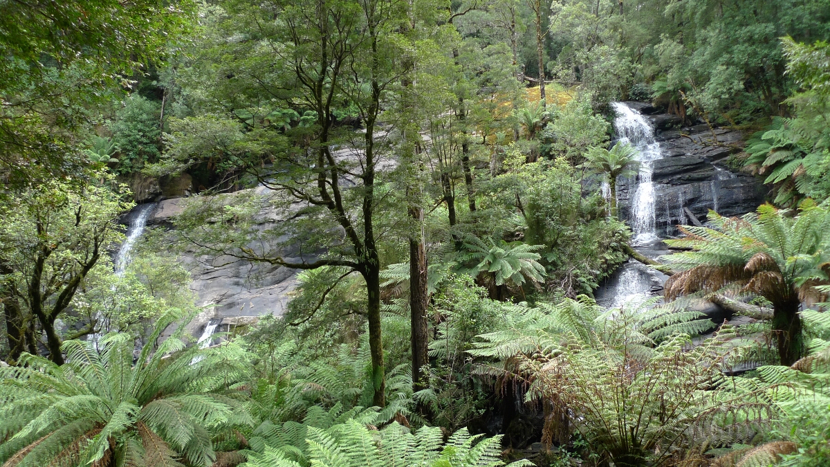
When we started the walk to the Triplet Falls in the Great Otway National Park, we were not expecting too much since it has not rained for a couple of weeks. Indeed, it took us some time to make out …
Going east on the Great Ocean Road, we spent a great night at the Blanket Bay campsite in the Great Otway NP. I tried staying there twice before, but there are only about 20 campsites and they were already full both …
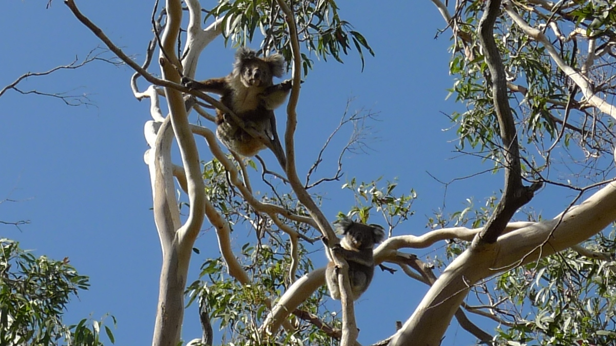
Going down the Lighthouse Road from the Great Ocean Road to Cape Otway provides many good spots to see some koalas up in the trees. I would say it is impossible to not see any koalas on this road. We …

Here are some photos taken from the viewing platform next to the visitor center. We happened to pass this place twice about two weeks apart. Luckily, we had a sunny day and a cloudy one. Since it was summer, it …
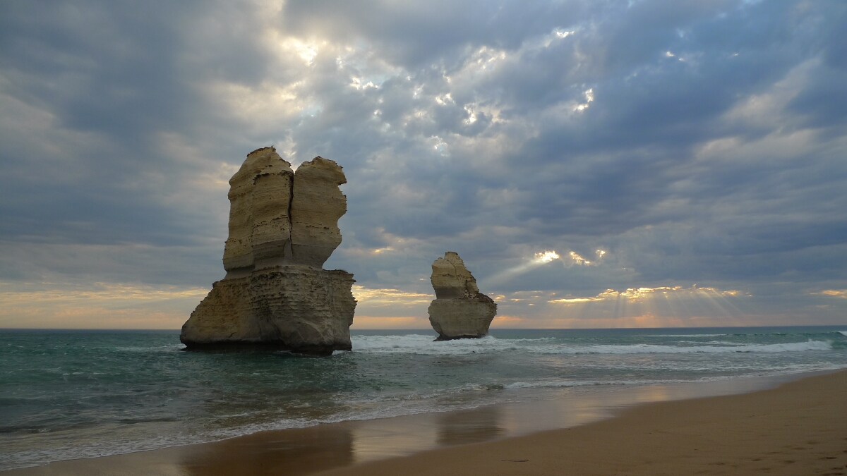
We pitched our tent in Port Campbell for the night and then headed out to the Twelve Apostles for the sunset. It’s a nice experience to go down to the beach at Gibson Steps since it makes you grasp the …
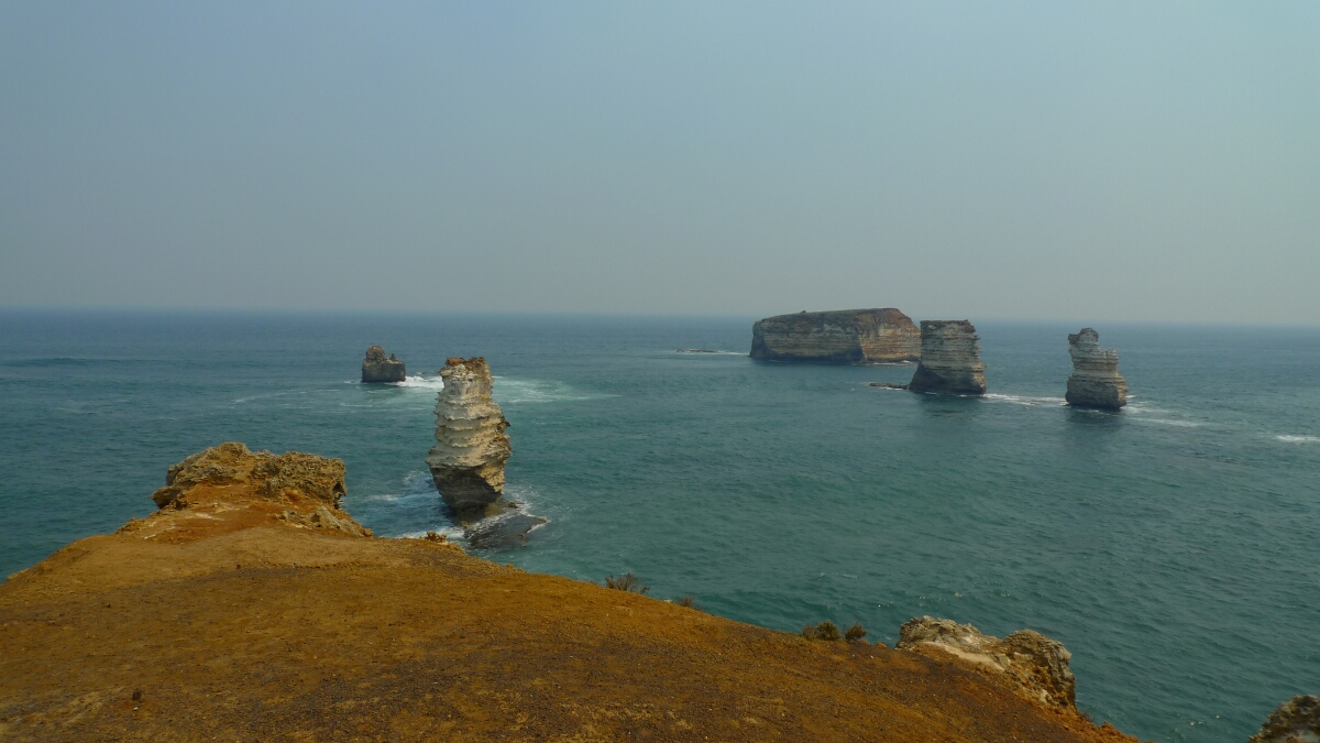
Coming from Childers Cove, we joined the Great Ocean Road east towards Peterborough and Port Campbell. There are several viewpoints with short hikes just off the road. The coastline features steep cliffs and there are quite a few Apostles scattered …
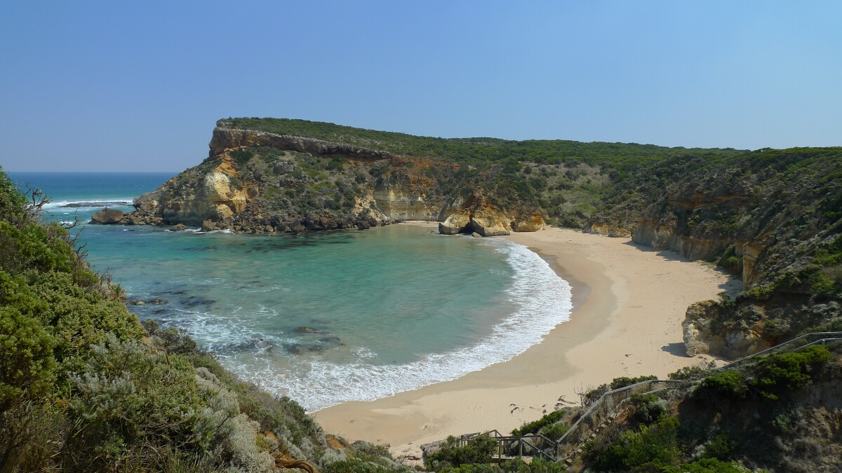
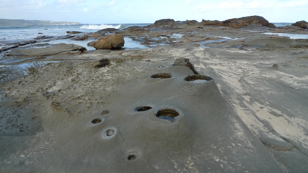
After watching the wildlife at the Tower Hill Reserve, we made our way further east to the beaches of Childers Cove. There are two beaches pretty close by and both are stunningly half moon shaped and swimming is thus a …
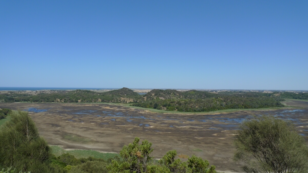
On the way to the Great Ocean Road we made a stop at the Tower Hill Wildlife Reserve just a few kilometers east of Port Fairy. The reserve offers a couple of hiking trails around an inactive volcano and there …
Back to Australia, after exploring the Badyuk caves and the tumulis we had one more volcanic adventure on the list before driving down to the south coast in Victoria. The Budj Bim NP was highlighted in our guide book as …
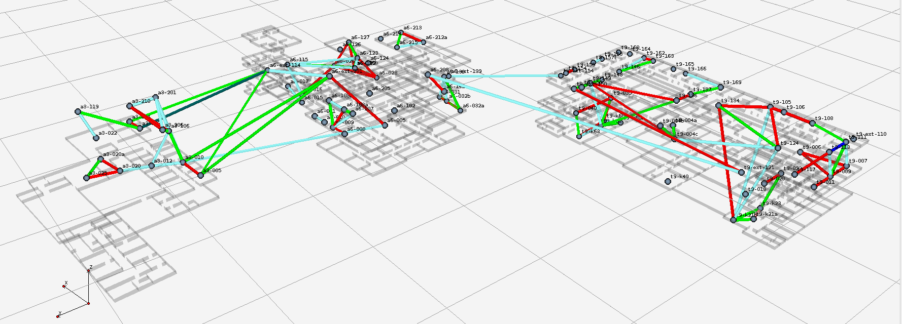
I finally found the time to clean up the code for DES-Chan, the channel assignment framework, and the algorithms based on it. Work on the framework started already 4 years ago and has been grown steadily due to the great …
DES-Chan – Channel assignment framework and algorithms at github Read more »
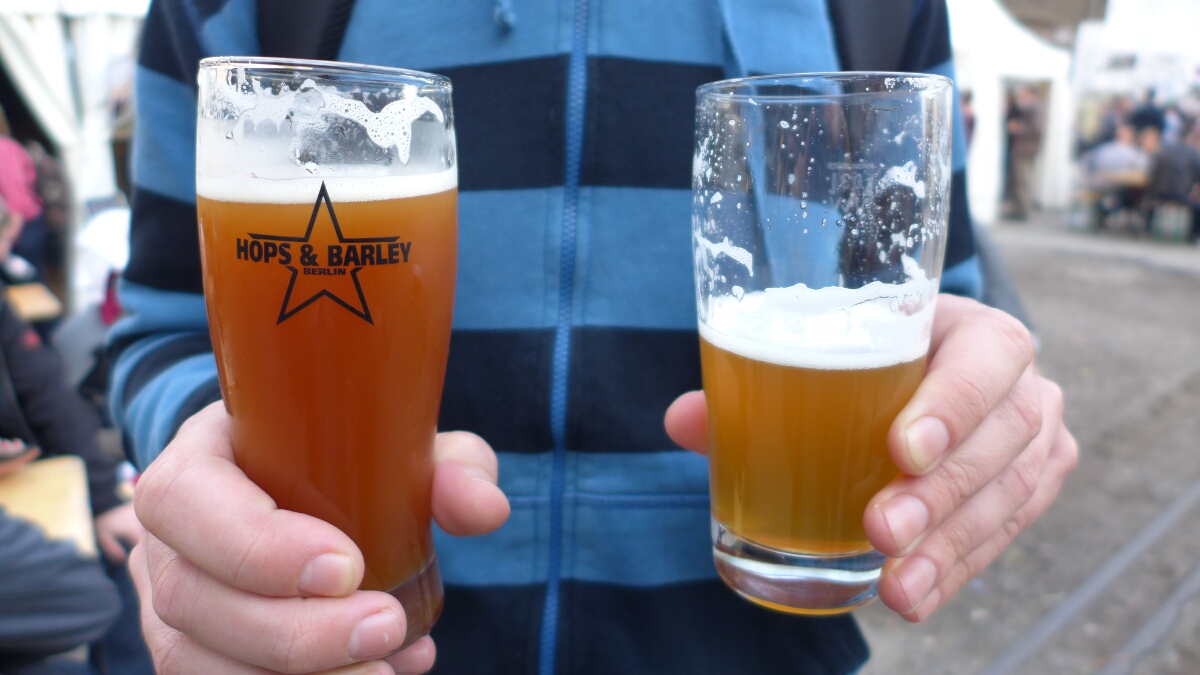
On Friday I went with a couple of co-workers for a Feierabendbier to Braufest Berlin, where about half a dozen microbreweries from Berlin presented their latest brews. We picked up a beer map, marked the most-interesting sounding beers and proceeded …

This year we had a very tasty tomato and chili harvest, despite the late start. When we came back to Berlin in April, it was still pretty cold so we decided to grow the plants from seeds and don’t get …
Pretty close to the Byaduk caves are a couple of tumuli or lava blisters. The tumuli look like small piles of rocks and came into existence when the lava pushed to the surface. I guess, they are tiny volcanoes. Apparently, this phenomenon is …
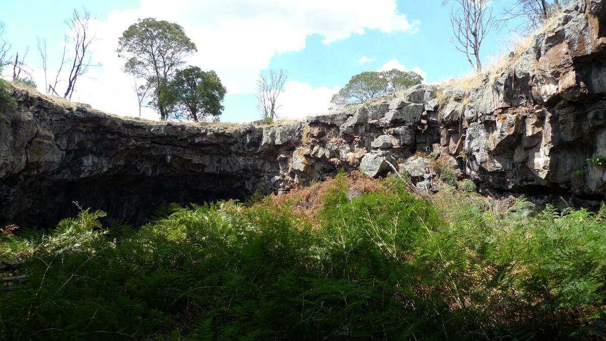
On the way from the Grampians to the coast, we stopped at the Byaduk lava caves about 20km south of Hamilton. The caves resulted from lava flowing from Mount Napier that cooled and solidified on the surface. When the lava …

I just finished preparing the batch of MANIAC Pale Ale for the BBQ of the MANIAC Challenge next Saturday! This year’s challenge is designed for students to experimentally implement and evaluate cooperation strategies for mobile data offloading. The challenge is co-located …
MANIAC Pale Ale – A special batch for the MANIAC BBQ next weekend Read more »
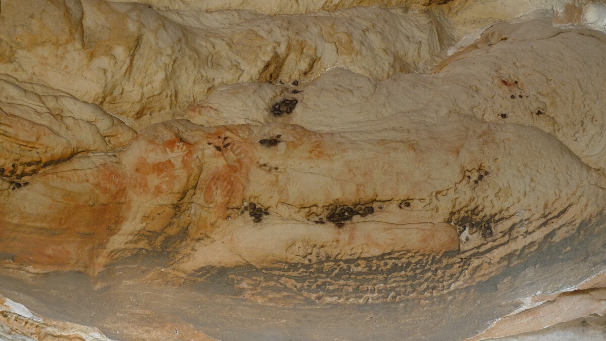
After the excursion to the Dimboola Pink Lake, we came back to the Grampians to spend the night on the Buandik camping area. The campground is just in between two important art shelters of the Jardwadjali. The Billimina (Glenisla Shelter) …
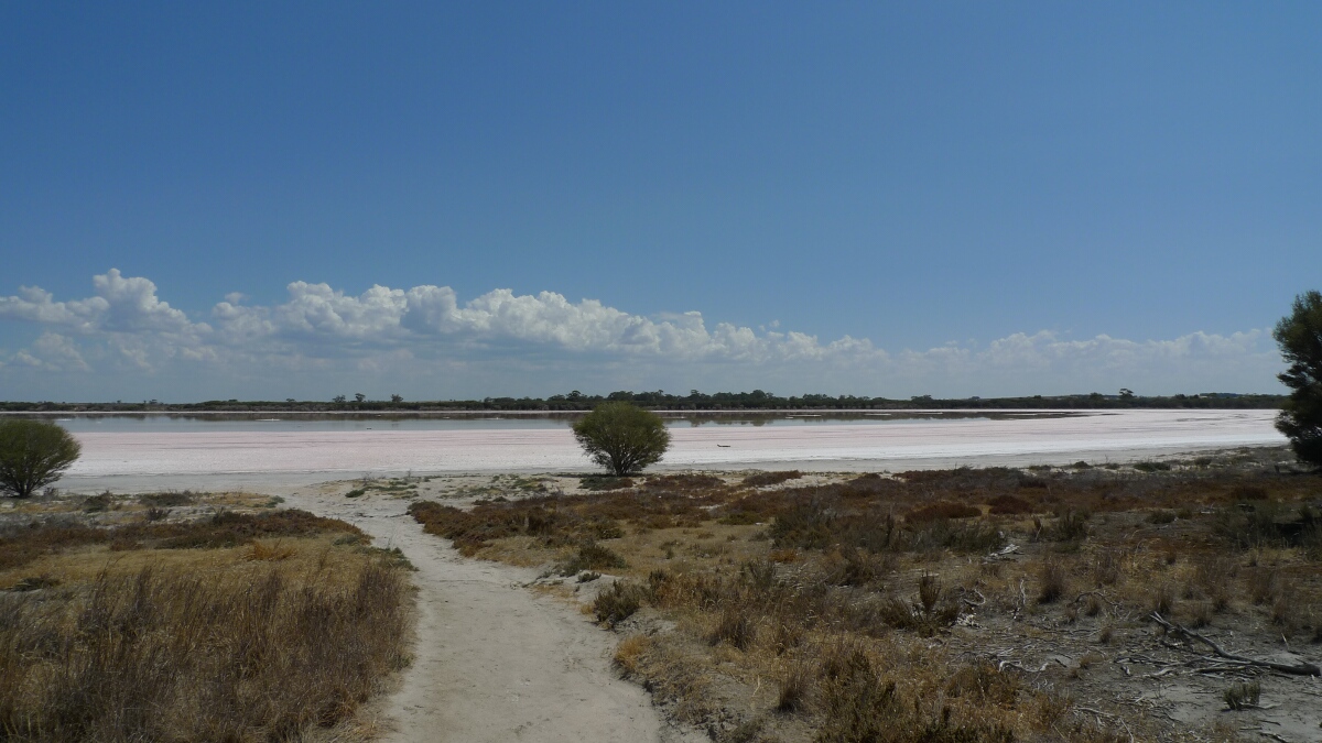
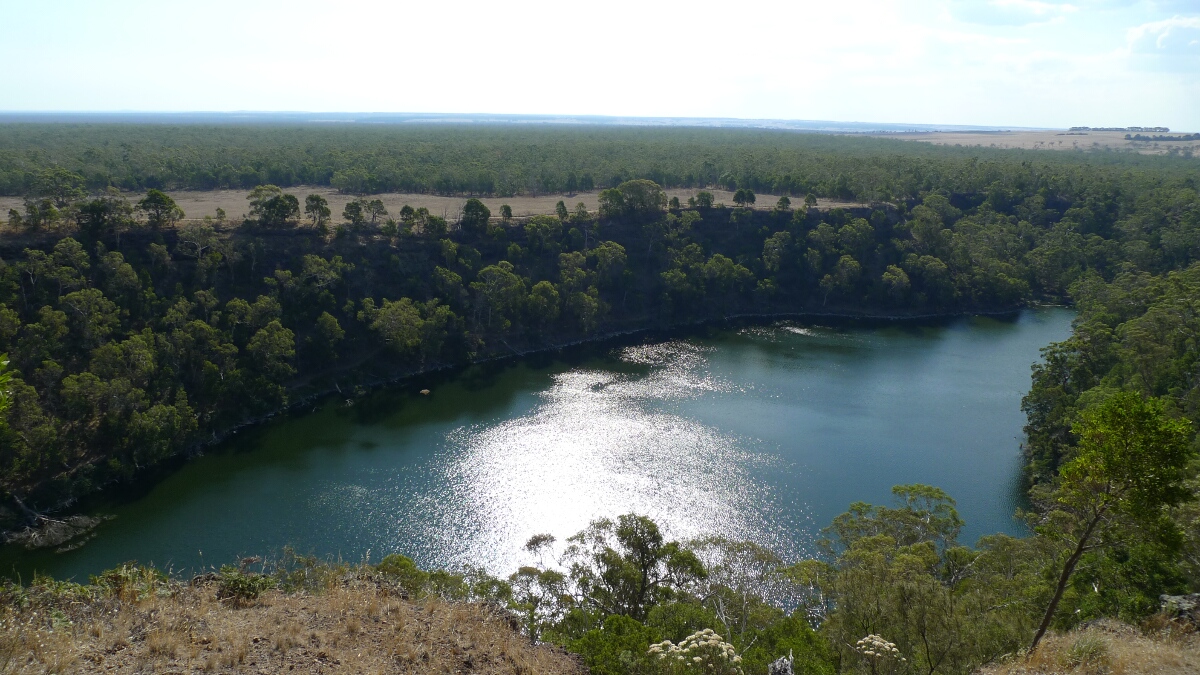
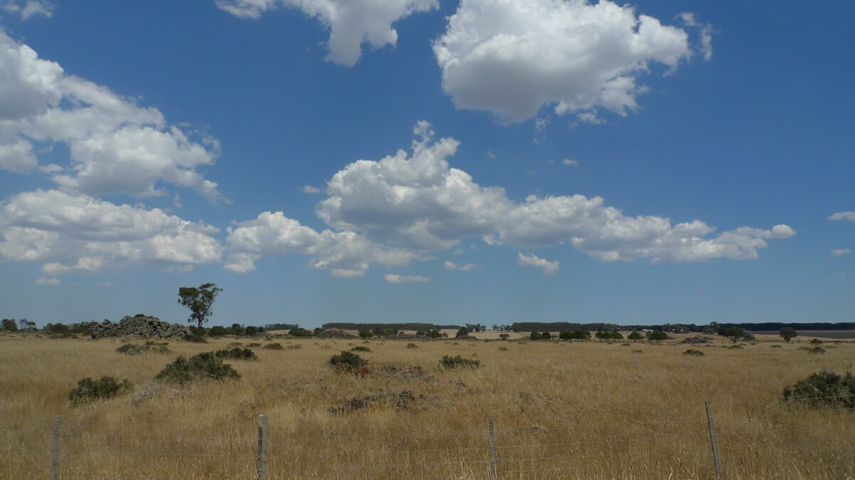
About 80km north west from the Grampians lies the Dimboola Pink Lake. Very conveniently on a summer scorcher, the lake is right next to the highway and a short path of about 50 meters gets you to the salty shore. …
After Hollow Mountain, we relocated the car to the Stapylton car park and started the ascent of Mount Stapylton. The walk is about 5km long and has some steep parts. The trail starts over a rocky but flat surface (called …
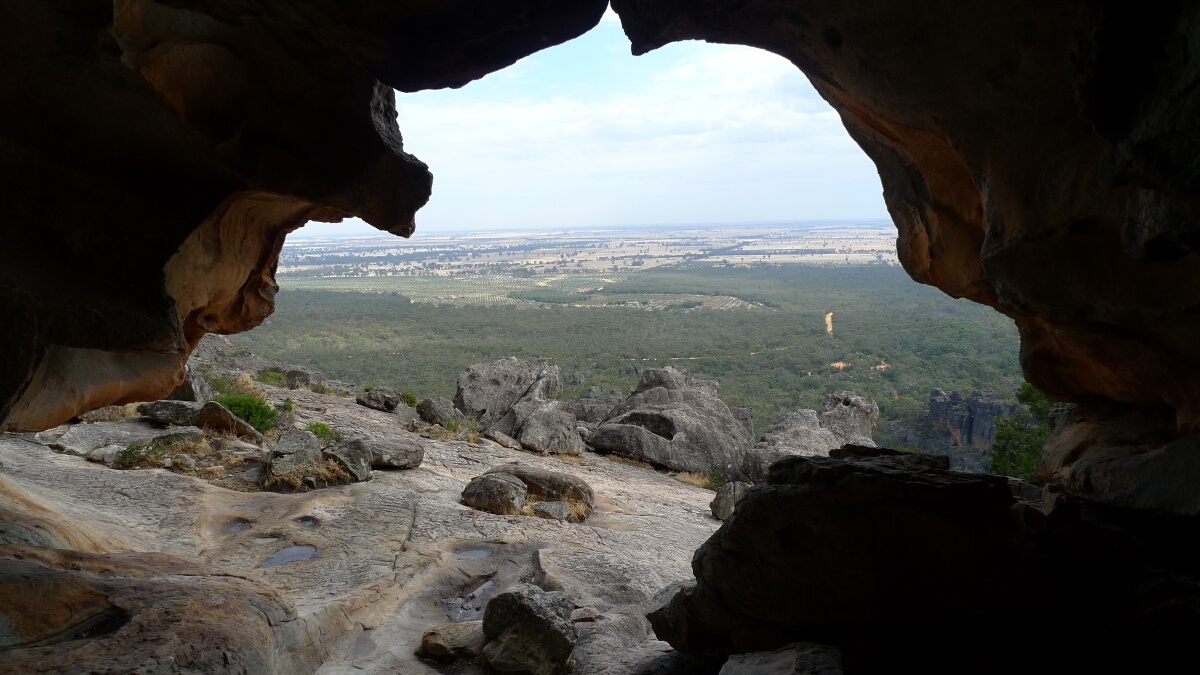
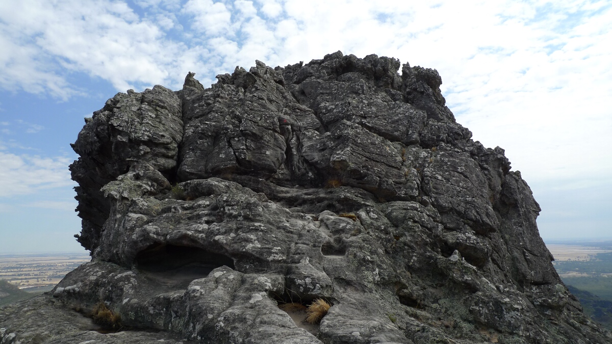
The short but steep ascent to the Hollow Mountain in the Grampians (Gariwerd) starts from the Hollow Mountain carpark, which is also the one to visit the Gulgurn Manja shelter. The walk is just 2.2km return but you go up …